Comparing Mersey Sailing Clubs: Which One Fits Your Skill Level and Budget?
October 13, 2026 - River Life
Ask anyone over a certain age about Liverpool's waterfront and you may hear about a railway that ran above their heads. The Liverpool Overhead Railway carried passengers along the docks for more than sixty years, rattling past cranes, ships and warehouses from one end of the waterfront to the other. It opened in 1893 and closed at the end of 1956, and people have been talking about it ever since.
If you have walked the Albert Dock or cycled the riverside path, you have already been under parts of it. This guide covers what the line was, where it ran, why it went, and where you can still find traces of it today.
The Liverpool Overhead Railway was exactly what its name suggests: an elevated electric railway built on a viaduct above the dock estate. It was designed to move dock workers and passengers along a waterfront that was long, busy and awkward to cross on foot. The docks stretched for miles, and the streets between them were crowded with carts, wagons and goods.
Running a railway above all that solved a practical problem. The line did not need to close dock gates, wait for traffic or take land from the working quays. It simply passed over them.
It opened in 1893 and was one of the earliest electric elevated railways anywhere. The trains were small, the stations were close together, and the whole thing had the feel of a working railway rather than a grand terminus. It also gained a nickname that stuck: the Dockers' Umbrella, because it gave shelter from the rain to people walking the dockside below as much as it carried passengers.
The line ran along the line of the docks, roughly north to south, rather than cutting inland. At its fullest extent it stretched from the Dingle in the south to Seaforth in the north, a distance of several miles, with stops close enough that you never waited long for the next train.
Landmarks along the way included:
Because it hugged the river, the views were the point. Passengers looked down on ships being loaded, on tugs and barges moving between docks, and out across the Mersey to Birkenhead and the Wallasey shore. On a clear day you could see the Welsh hills.
This was not a tourist line first and a commuter line second, or the other way round. It was both, depending on the time of day. Dockers used it to get from one gate to another without a long walk. Office staff, shoppers and day trippers used it to move along the waterfront. On race days and bank holidays it was packed.
The Overhead Railway did not close because people stopped liking it. It closed because the ground beneath it changed.
The key issue was the viaduct itself. It was a steel structure sitting in a salty, damp, industrial environment, and after six decades it needed serious repair or replacement. Engineers reported that the ironwork was corroding and that a large programme of work would be needed to keep it safe and running.
The money was the problem. By the 1950s the railway was losing passengers, and the dock trade that had justified the line was changing. Containerisation was still in the future, but the pattern of dock work was already shifting, and the railway's finances were weak. A structure needing heavy capital spending, run by a company without the money to spend, was in trouble.
Ownership passed to the British Transport Commission, but a full rebuild was never agreed. The decision was taken to close the line rather than fund the repairs, and the last trains ran at the end of December 1956. Demolition followed fairly quickly through 1957 and 1958, and for a generation the waterfront was left with piers, stumps and gaps where the viaduct had been.
It is often described as a victim of its own condition rather than of a lack of affection. Plenty of people wanted it kept. Nobody could find a way to pay for it.
The good news for anyone curious about the line is that the waterfront still gives up clues if you know where to look. Nothing runs, but plenty survives.
A few places worth visiting:
Start at the Pier Head, where the geography makes sense, and walk south towards the Albert Dock and beyond. The line of the railway sits between the dock water and the buildings, so keep an eye on the wall line rather than the road. A phone with an old map loaded is more useful than a guidebook here, because the route is not signposted as a trail. Comfortable shoes matter more than any other kit; the waterfront is flat but long.
The Overhead Railway is a neat summary of how Liverpool worked. It was built to serve a dock system that was among the busiest in the world, it carried the people who worked there, and it disappeared when that system changed. The ships did not stop coming, but the way goods moved did, and the railway could not adapt to that.
That is why it still matters locally. It is not just nostalgia for a train. It is a reminder that the waterfront has been rebuilt more than once, and that each version leaves something behind if you look.
Photo: Keith Farnham / Pexels
From tide-dependent estuary berths to sheltered Wirral lake sailing, Merseyside's clubs differ sharply on cost,...
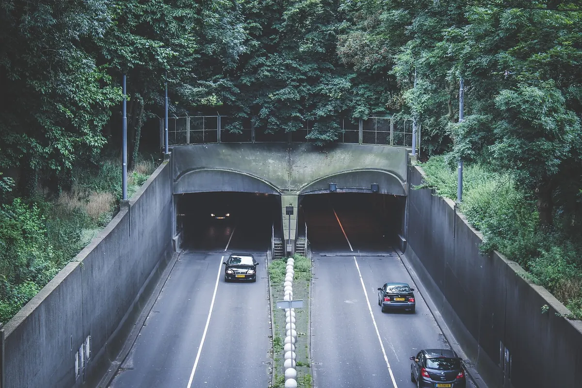
The Mersey Tunnels have linked Liverpool and Wirral since 1934. Here is how Queensway and Kingsway were built, and...
Copyright © 2026 The Mersey Corner. All Right Reserved.