Comparing Mersey Sailing Clubs: Which One Fits Your Skill Level and Budget?
October 13, 2026 - River Life
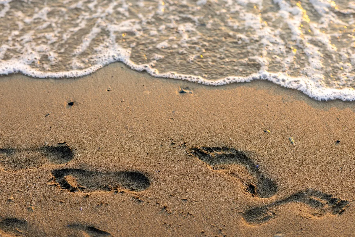
At low water, New Brighton beach looks as though it goes on forever. The lighthouse sits out on its reef, the Marine Lake wall is behind you, and there is nothing in between but damp sand and the odd line of weed. That is precisely why people get caught out here. The Mersey does not arrive like a breaking wave. It finds the gullies and channels first, slides in behind the banks you walked across, and quietly turns your route home into deep water. Reading a tide table takes about five minutes. That is the whole skill.
The standard reference for this stretch of coast is Liverpool. Most tide tables and apps list times and heights for Liverpool (Gladstone Dock), and New Brighton runs close enough to those figures that you can plan from them with confidence. The local offset is small, but small is not the same as nothing: treat the Liverpool times as your guide and build in a margin rather than cutting things fine.
A tide table for one day usually gives you two high waters and two low waters. For each one you get a time and a height in metres, measured from chart datum — a fixed low-water baseline used for navigation charts. You can ignore what the number means in the abstract. What matters is the pattern.
One more thing worth knowing: tides run roughly an hour later each day, and the high waters drift through the daylight hours across a fortnight. Yesterday's times are not today's. Check the date on the table, every time.
The gap in height between low and high water is the range, and at Liverpool that range is one of the largest in the country. On a neap tide the water moves relatively little. On a spring tide it moves a great deal more, and the difference is not subtle when you are standing on the sand.
It also does not rise evenly. A flood tide moves roughly a twelfth of its total range in the first hour, two twelfths in the second, three in the third, then three, two and one as it approaches high water. The exact figures vary with the shape of the estuary and the day, but the principle holds: the middle hours of the flood are when the most water arrives in the least time. The gentle trickle you notice just after low water becomes something quite different an hour or two later.
The beach here is not a smooth slope into deep water. It is a mix of banks, shallow gutters and soft patches, and the tide reaches the low spots first. That produces the classic Mersey situation: dry sand ahead of you, dry sand behind you, and a channel filling quietly on both sides.
Two local features are worth keeping in mind. The reef around the Rock lighthouse becomes an island well before high water, and the water around it fills fast. The Marine Lake wall, meanwhile, feels like a solid boundary until you realise how far you have walked past the point where you can get back above it. And underneath all of this is soft mud in places, which is slow and tiring to cross even when the water is nowhere near you.
A tide table predicts the astronomical tide. The water you actually meet is that prediction plus the weather. A steady onshore wind from the west or northwest pushes water up the estuary and can raise levels and speed the flood. Low air pressure does something similar. A calm, high-pressure day with an easterly breeze tends to be gentler than the table suggests.
The practical rule is simple: if the forecast is for a fresh onshore wind, shorten your window rather than stretching it. Do not use a good day as evidence for a bad one.
Signage and safety boards along the promenade carry local advice and contact details, and it is worth a glance at them rather than relying on memory.
Do not wade it and do not swim it. Estuary currents are stronger than they look and the water is cold even in summer. Move sideways to the nearest higher ground, which at New Brighton usually means working back towards the promenade and the sea wall, and call for help if you are stuck. Sitting it out on a sandbank and hoping it drains away is not a plan — the tide will stay high for hours.
Everything above comes down to one routine. Check the tide before you leave the house. Check it again on your phone when you arrive, because the sea is in front of you and the numbers suddenly make sense. Give yourself twice the time you think you need to get back, and turn around before you are tired. At New Brighton, the safest walkers are not the ones who know the beach best. They are the ones who keep an eye over their shoulder.
Photo: nathan-osman / Pixabay
From tide-dependent estuary berths to sheltered Wirral lake sailing, Merseyside's clubs differ sharply on cost,...
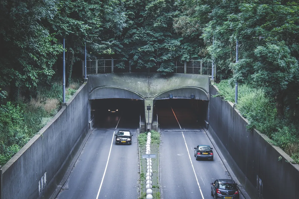
The Mersey Tunnels have linked Liverpool and Wirral since 1934. Here is how Queensway and Kingsway were built, and...
Copyright © 2026 The Mersey Corner. All Right Reserved.